Forwarder / courier mobile app
The mobile application of the driver-forwarder (courier) can work in conjunction with the geographic information system Optimum SmartGIS or separately.
A mobile device can record:
- start / end of movement;
- acceleration / deceleration (including emergency and aggressive);
- exceeding the permitted speed;
- sharp turns, critical tilt angles);
- approaching a dangerous section of the road;
- photo of readiness for the flight (auto selfie);
- lack of a seat belt;
- violation of the rules of behavior behind the wheel adopted by the company (smoking, transportation of passengers, etc.).
Key features
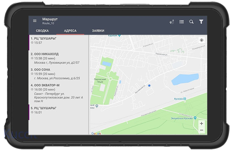
- Receiving the route and addresses of clients from the IT system (Optimum SmartGIS, 1C, etc.).
- Video, audio, photo reports of activities.
- Transfer of delivery statuses to the dispatcher.
- Scanning and recognition of invoice QR-, barcodes.
- Acceptance of payment for delivery in cash or credit cards.
- Online transfer of photo / video from the camera and sensor readings (GPS receiver, gyroscope, accelerometer) of the mobile device.
- Support for the Russian mobile OS "Aurora"
- Alarm button.
- Obtaining an electronic signature of the client.
Related software
Optimum SmartGIS
Zlenko T.V., National Direct Distribution Manager, SUN InBev JSC


Contact us
Related articles All articles
 News
News
27 september 2018
The Optimum GIS reduces the costs of transportation of AB InBev brewing products
 News
News
29 may 2018
PepsiCo equips freight transport with a temperature monitoring system
 News
News
01 march 2016
SUN InBev Implements the Optimum TMS to Automate Transport Logistics
 News
News
16 january 2016
CDC Automates Collection and Delivery of Mail at ‘Spetssvyaz’ Rossii’
 News
News
14 july 2015
Planning Routes and Monitoring Armored Vehicles Operated by Alfa-Bank’s Cash Collection Service